What do Formula 1 racing, sea level rise and climate migration have in common? LCPS students used cutting-edge technology to explore these global challenges, and their work just earned international recognition.
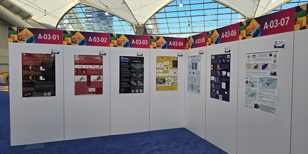
Seven Loudoun County Public Schools (LCPS) student projects earned a place in the Map Gallery of the 2025 Esri User Conference, the world’s largest event dedicated to geographic information systems (GIS). Held July 14–18 in San Diego, California, the annual conference gathers more than 18,000 participants from around the world to explore how GIS technology can be used to solve real-world problems, from climate change and public health to transportation and urban planning.
Two LCPS student projects received special recognition and awards for their exemplary use of GIS in education:
Formula 1 Carbon Emissions
Leo G. and Logan T., Freedom High School
This project explored the environmental impact of Formula 1 racing by analyzing carbon emissions across circuits worldwide.
Airport Vulnerability to Sea Level Rise
Ian H., Independence High School
Using GIS to model rising sea levels, this project evaluated which airports across the United States are most at risk, offering powerful insights into infrastructure and climate resilience.
The Esri Map Gallery showcases student, professional and institutional projects that use GIS to communicate data in visual, story-driven ways. For students, the gallery is an opportunity to apply advanced technology to meaningful issues and to be recognized on an international platform alongside leaders in science, government and industry.
Five additional LCPS student projects were also featured in the Map Gallery:
Rising Sea Levels in Rodanthe – Taylor W., Freedom High School
The Spread of the Spotted Lanternflies in Virginia – Jamie S. and Bella E., Heritage High School
Comparison of Light vs. Noise Pollution Within the United States – Sophia B. and Shelly R., Potomac Falls High School
Impact of Data Centers on Loudoun County – Ajrin N., Rock Ridge High School
Somalia Climate Displacement and Future Prediction Model – Hannah F. and Kayla F., Woodgrove High School
Each of these students tackled some of the most pressing environmental and social challenges of our time, using data, analysis and technology to inform and inspire. Their work demonstrates not only technical skill but also a deep sense of purpose and global citizenship.
What’s GIS, and Why Are Students So Excited About It?
Geographic Information Systems (GIS) is a powerful tool that allows users to collect, analyze and visualize data tied to specific locations. With GIS, students can uncover patterns, make predictions and tell meaningful stories with maps. In classrooms across LCPS, students are using GIS to think critically and creatively about the world around them.
Participation in the Esri User Conference Map Gallery is a remarkable accomplishment and a testament to LCPS’s commitment to innovation, real-world learning and preparing students to lead and shape a better future.
How Are LCPS Students Learning About GIS?
LCPS students gain hands-on experience with GIS through a dual-enrollment Geospatial Science course offered as part of James Madison University’s Geospatial Semester. In this course, juniors and seniors can earn six college credits while completing high school coursework that uses professional-grade software and data provided by Environmental Systems Research Institute (ESRI) through a longstanding partnership.
Students interested in Geospatial Science or in getting involved should speak with their school counselor or science teacher.

